
Fire resources strained
Large SoCal fires as work on 'Coffee Pot' continues

Volume 3, Number 11 - Thursday, Sept. 12, 2024
Published every Monday and Thursday
Perspective
AS I READ NEWS REPORTS of wildfires in Southern California this morning, I am reminded that it's personal for people who have been evacuated or lost homes. The related trauma is likely to persist. Firefighters and other first responders genuinely put their lives and physical and mental health at risk and suffer trauma, as well.
Sitting at my computer, checking online reports, is generally impersonal. But as I’ve read or viewed news reports from these latest fires, I’m overwhelmed by thoughts of the difficulties people are facing.
The Coffee Pot Fire, which I’ve followed for over a month, also impacts people, and I don’t want to discount that. I’ll return in coming editions to how the giant sequoia groves have fared, and below, you’ll find the latest stats, a link to maps and more.
This morning, I found myself struggling to clarify my random thoughts.
On Tuesday, I was covering an event at Edwards Air Force Base in the Mojave Desert. From many miles away, I could see the huge billowing cloud created by the Bridge Fire. It looked like smoke was also coming from the Line Fire to the east. Another much smaller vegetation fire kicked off near the Kern County desert community of Rosamond, threatening homes for a time and adding even more smoke.
As Los Angeles Times reporters Alex Wigglesworth, Hayley Smith and Hannah Fry reported HERE yesterday, “Firefighters battling wildfires burning in Southern California are stretched thin amid a nationwide shortage of firefighters, aircraft and contractors.”
There’s no shortage of news coverage of the big fires in California and elsewhere, and here and there, you’ll find references to people hoping that fuel reduction work may make a difference.
When the smoke clears, that’s an important question to be answered.
Nationally, we’ve been at National Preparedness Level 5 (the highest level) since Sept. 6. The PL goes up and down, and if I understand correctly, we reached it first this year on July 18. According to the Bureau of Land Management HERE, nationally, we’ve only reached PL 5 during July four times in the last two decades.
PL 5, described HERE, means that “national resources are heavily committed, and additional measures are taken to support geographic areas.”
Inside Climate News, HERE, has a report this morning by Caroline Marshall Reinhart titled: “‘Weather Whiplash’ Helped Drive This Year’s California Wildfires.”
I’m not sure there’s a lot we haven’t heard before in this report, but it’s timely and pulls current information together very well, along with a map of California’s active fires. I think it’s worth a read. Here’s an excerpt:
While there were 5,053 fires that burnt 253,755 acres by September 11 in 2023, by that date this year, about a thousand additional wildfires had collectively burned over 3.85 times more acres. Much of the increase can be attributed to what climatologists are calling “weather whiplash.”
Over the past four years, California’s weather has swung from drought between 2020 to 2022 to two excessively wet years in 2023 and early 2024. That moisture fueled a surge of growth of what are known as fine fuels—grasses, small shrubs, moss and twigs that grow quickly and ignite easily.
Firefighters call them one-hour fuels because in just one hour under dry, sunny conditions, they can dry to the point of catching fire.
Grassland ecosystems are more susceptible than trees to the weather whiplashes of recent years.
“A forest doesn’t appear or disappear or grow or die back just on the basis of one wet year versus another,” said Daniel Swain, a climate scientist at University of California Los Angeles. “But if you have a grassland ecosystem, it can respond quite a bit to changes from year to year.”
Also noteworthy:
Around 80 percent of home loss from wildfires occur in grasslands, said Ralph Bloemers, director of Fire Safe Communities for Green Oregon.
“Fire just is. Fire is inevitable,” said Bloemers. “The problem is the vulnerability of the communities that we’ve built in the fire plain, not the fire, because we aren’t going to eliminate the fire from a Western fire-prone, fire-adapted landscape. It is a natural reality.”
A study Bloemers co-authored emphasizes improving resilience in at-risk communities. Modifying structures and landscaping around communities can make them less likely to burn in a wildfire, and can reduce the potential for ignitions in conditions in which a fire could be difficult to control.
Ah, yes, there’s that WUI problem again (wildland urban interface).
And, I’m reminded as I check out the WatchDuty map HERE, in nearly all of Californi, it’s not a matter of if we’ll be impacted by wildfire, but when.
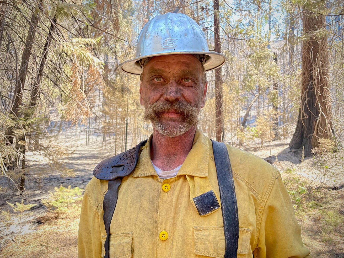
Coffee Pot Fire
According to this morning’s report, on Inciweb, the Coffee Pot Fire started on Aug. 3 southeast of Three Rivers, California, and has grown to 13,999 acres with 41% containment. A total of 1,062 people were assigned to this fire and the primary strategic control line is 96% complete.
On Facebook yesterday, someone asked “What is a Primary Strategic Control Line, and how is it different from Percent Contained?” and a Sequoia and Kings Canyon National Park representative answered:
We're glad you asked. The primary control line is the line closest to the fire perimeter. It acts as the initial boundary where firefighters aim to halt the fire's spread.
A containment line, on the other hand, goes a step further. It includes the primary control line but also requires crews to meticulously check the area immediately around the line for any lingering hot spots or embers that could reignite the fire. Firefighters work within the containment line, extinguishing pockets of heat with the goal of ensuring the fire doesn’t cross the line. This thorough process continues deeper into the burned area until crews are confident the fire will not escape the containment line. When a section of the fire perimeter is fully secured in this way, it is considered contained, and this is represented on maps as a solid black line.
Community meeting tonight
California Interagency Incident Management Team 15 will host a public meeting about the Coffee Pot Fire at 6 p.m. tonight (Sept. 12) at the Three Rivers Memorial Building, 43490 Sierra Drive, Three Rivers. Those unable to attend can watch the meeting live on the Sequoia and Kings Canyon National Parks Facebook page or YouTube channel HERE.
More information about the Coffee Pot Fire is HERE.
Wildfire, water & weather update
Some cooler weather, fortunately.
Here is the weather report included with this morning’s Coffee Pot Fire update on Inciweb:
As the trough moves eastward, expect a cooler day with steady humidity and lighter afternoon winds, creating a calm and stable atmosphere. The trough’s progression will bring slightly milder conditions, reducing the intensity of both heat and wind while maintaining clear skies. This stable weather pattern should hold throughout the day, offering no significant fluctuations in temperature or moisture levels.
And smoke impacts from Coffee Pot:
Air quality conditions greatly improved throughout the outlook area due to moderate fire activity. Today expect GOOD air quality conditions North and South of the fire, with MODERATE conditions closest to the fire in Hammond and Three Rivers this morning, but clearing to GOOD air quality throughout the forecast area this afternoon.
You can see the Fire Weather map HERE. The best Sierra Nevada weather forecasts are at NWS Hanford, HERE, and NWS Sacramento, HERE.
Did you know you can comment here?
It’s easy to comment on items in this newsletter. Just scroll down, and you’ll find a comment box. You’re invited to join the conversation!
Thanks for reading!