Volume 3, Number 29 - Monday, Nov. 18, 2024
Published every Monday and Thursday*

Perspective
FOR MONTHS there has been speculation about whether California will return to a La Niña weather pattern.
As Senior News Editor Amy Graff wrote HERE for SFGate:
La Niña — the inverse of El Niño — impacts weather around the world and is often associated with wetter conditions in Northern California and drier weather in Central and Southern California.
We know, of course, that California’s weather pattern swings between wet and dry. According to drought.gov, “drought is a normal climate pattern that has occurred in varying degrees of length, severity, and size throughout history.” And, the government website tells us, “drought results from an imbalance between water supply and water demand.”
In human terms, we often view this as whether we can continue to grow and water lawns and other landscaping in our yards, or whether farmers have enough water to irrigate crops we all depend upon.
I wondered what drought — or drier than average conditions — means to giant sequoias, and found this information from the National Park Service:
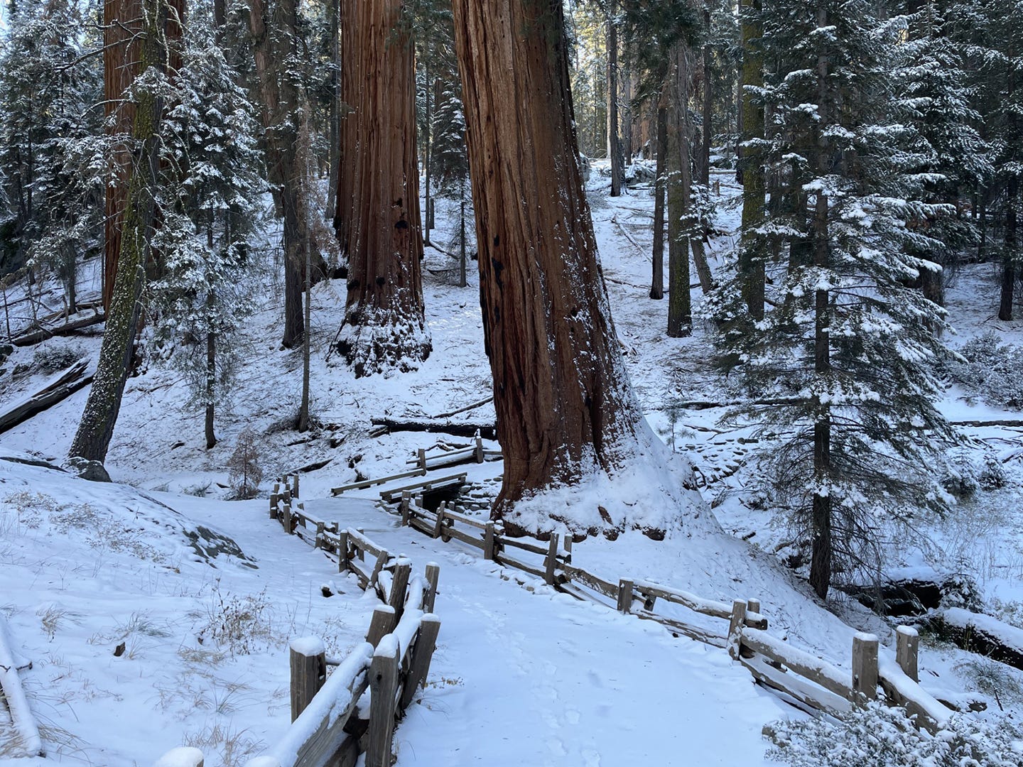
Climate is a key factor in determining where sequoias grow on the landscape. Currently, their range is a narrow mid-elevation band in the Sierra Nevada – historically the elevation range where half of the precipitation falls as snow.
You can read more HERE.
According to the California Office of Environmental Health Hazard Assessment (HERE), California has become increasingly dry since 1895. From 2012 to 2016, the state experienced the most severe drought on record — 13 of the 30 driest months on record occurred during this period. And except for brief wet periods in the 2017 and 2019 water years (October through September), drought conditions largely persisted through 2021 and 2022.
Water years run from Oct. 1 through Sept. 30 and are identified by the calendar year in which each ends.
In California, water year 2023 was considered a "historic" year with significant precipitation that ended a multi-year drought and led to a record snowpack. A series of intense atmospheric rivers resulted in a major boost to California's water supply and even revived long-dry Tulare Lake.
The so-called “weather whiplash” continued into the water year that ended on Sept. 30. Whether La Niña will bring warmer, drier weather to the Golden State remains to be seen.
The first “atmospheric river” of the new water year may develop this week, as reported by Managing Editor Katie Dowd for SFGate (HERE):
A “rather impressive system” is setting the stage for what could be California’s first atmospheric river storm of the season, the National Weather Service said Sunday. An atmospheric river carries water vapor from the tropics and, when it makes landfall, can bring a vast amount of rain and snow; in Oct. 2021, for instance, San Francisco got 750% more rainfall than an average year after a powerful atmospheric river passed through the region.
Of course, whether this water year becomes the third year of wet or the first year of a new dry spell remains to be seen.
I’m hoping for wet.

* You may have noticed there was no newsletter last Thursday, Nov. 14. I was traveling and dealing with technical issues that made me unable to publish. My apologies! If I’m lucky today, I’ll have a surprise for you on Thursday.
Wildfire, water & weather update
California’s Fire Weather Report (HERE) shows no red flag warnings or fire weather watches in California this morning, The California Drought Map (HERE) still shows “abnormally dry” through much of the Sierra Nevada. There are cold weather advisories in the mountains and a chance of snow at the highest elevations with the potential of more later in the week. The best Sierra Nevada weather forecasts are at NWS Hanford, HERE, and NWS Sacramento, HERE.
Did you know you can comment here?
It’s easy to comment on items in this newsletter. Just scroll down, and you’ll find a comment box. You’re invited to join the conversation!
Thanks for reading!


